Mountain Auerberg

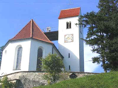
Auerberg 2, 86975 Bernbeuren (google maps)
The mountain Auerberg is about 1055m high mountain in the foothills of the Alps. It can be reached by car via a winding road
or via a beautiful, scenic hiking trail from the village of "Stötten".
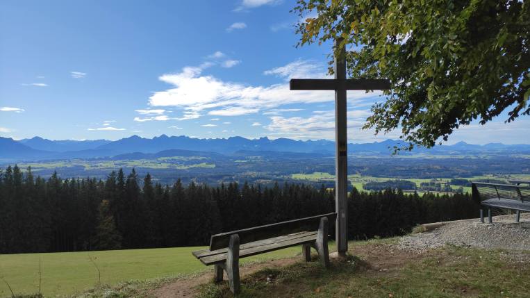
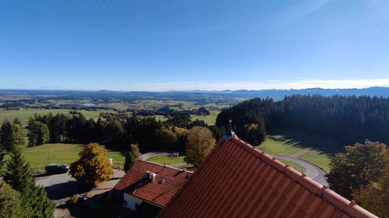
From the viewing platform of the church you have (almost) a 360° panorama and the alpine chain presents itself.
You can also visit excavations from the Roman period.
A restaurant with a beer garden invites you to stop in.
Tower ascent
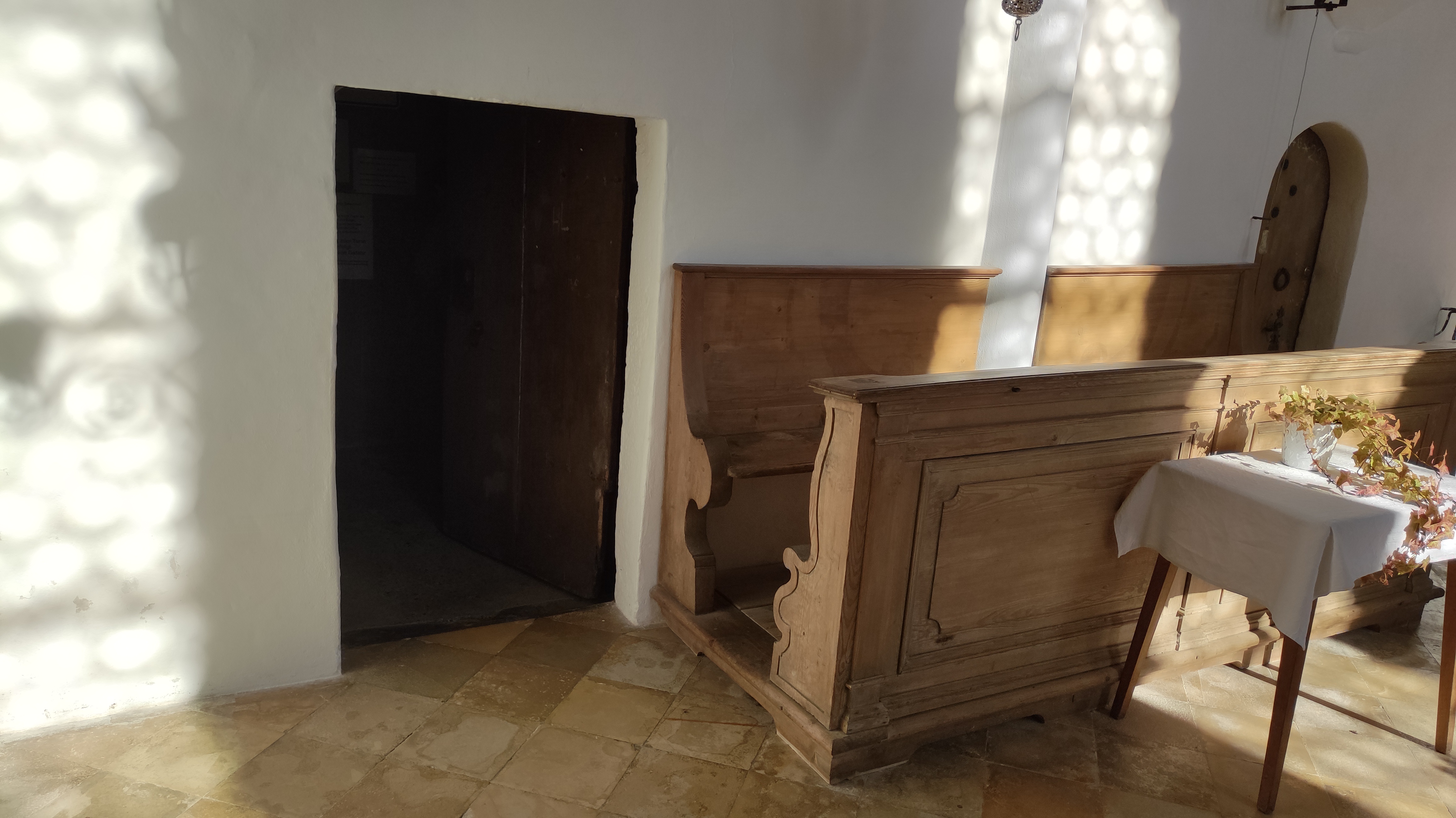
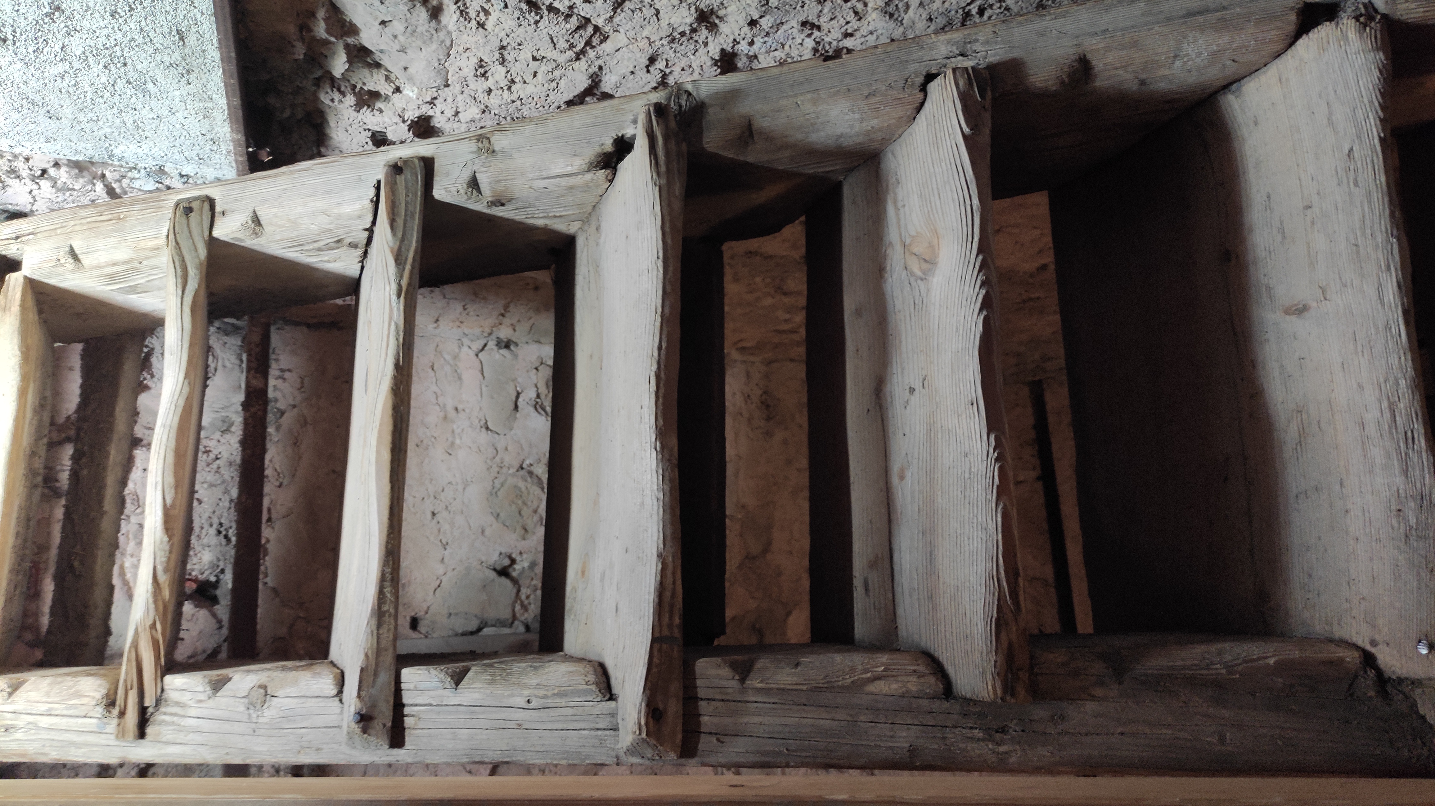
Walk from the parking lot up the short path to the church. In the church there is a door with a sign "Zum Turm" to the left of
the altar. Behind it there is a narrow, wooden staircase leading to a viewing platform.
Caution: Every quarter of an hour the
bell strikes very loudly as you might be standing right next to the bell.
Hike the Römerweg
hiking time (one way up): 1 hour
altitude change: 245m
Drive to the village "Stötten" and park at the church google maps
or better at the small parking lot google maps. See also the "P" in the map below near "Bachtal". Parking here could be difficult on sunny Sundays.
The trail is easy
and marked. Because it crosses some pastures it maybe dirty or muddy sometimes, especially after rainfall.