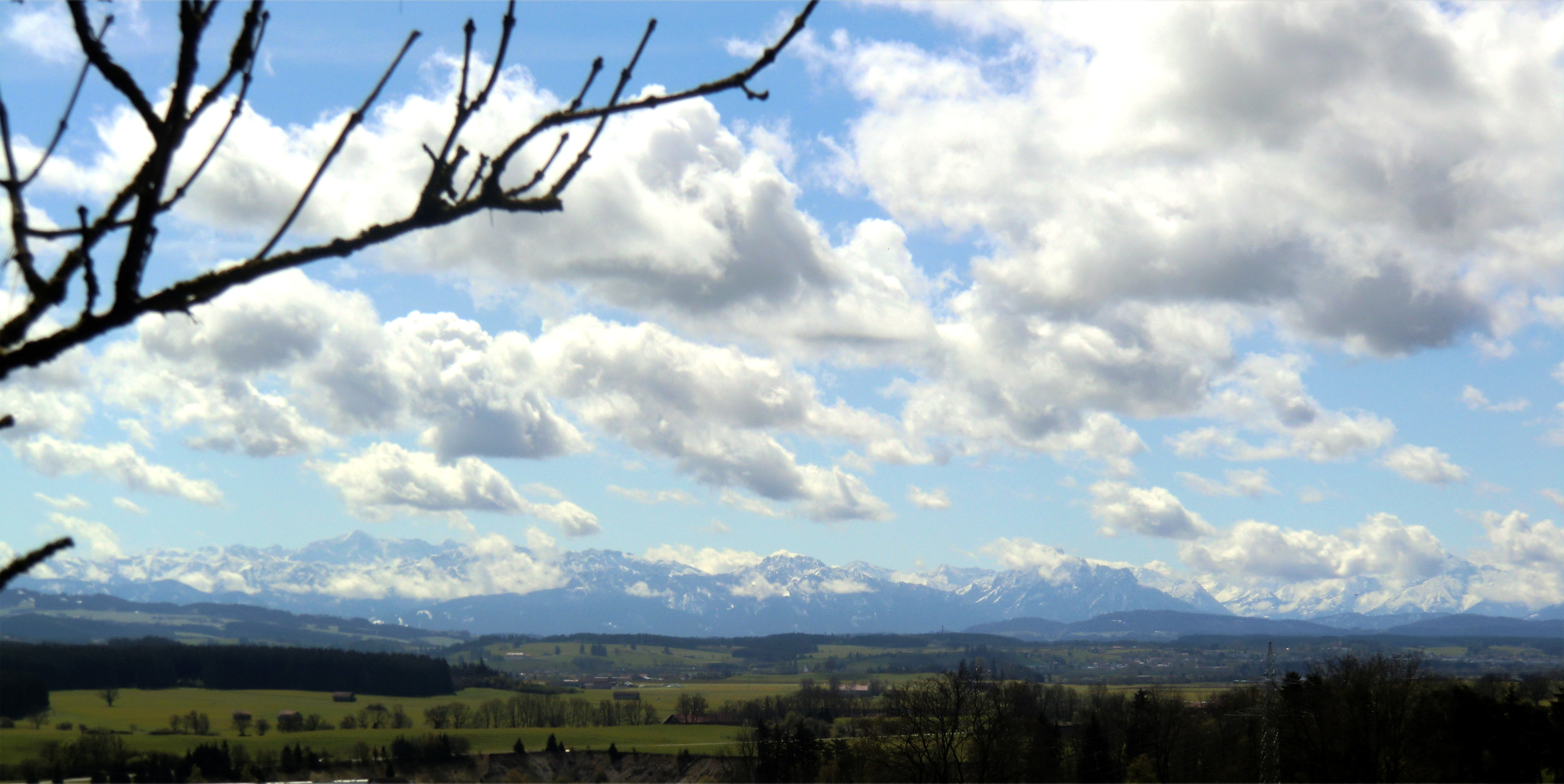
Scenic walk (½ hour)
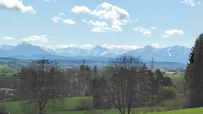
On a clear day, you can see the Alps. The "Zugspitze (2970 m)", the highest mountain of Germany and the ranges of the Ammergauer, Lechtaler and Allgäuer mountains.
You walk on forest-roads, which can be dirty after rainfall
Description (counterclockwise, blue on the map):
Leave our driveway and go left (south). Then take the 2nd(!!) crossroad to the right (also "Amselweg"), at the end left ("Am Vogelherd") and then at the end turn right. Pass the newly built houses and
go straight up the hill ("Salzstraße"). Here are often horses on the pasture. At a barrier turn left, pass the barrier and go up
to the highest point (ca. 800m above sea-level) and down until you
come to a crossroad. Turn right (South) and walk to the end of the road. At a small hut there is a bench and you can enjoy the view.
Then you go back, either the old way or down the hill and then like on the map back to our house.